Geospatial data is information about objects, events, or phenomena that have a physical location on the earth’s surface. The location may be static in the short term (for example, the location of a road, an earthquake event, or children living in poverty) or dynamic in the long term (e.g., a moving vehicle or pedestrian, the spread of an infectious disease, etc.). Geospatial data combines location information (usually earth coordinates), attribute information (the characteristics of the object, event, or phenomenon in question), and, in some cases, temporal information (the time or life span at which the location and attributes exist).
Geospatial data typically consists of large sets of spatial data gathered from various sources in various formats, including information such as census data, satellite imagery, weather data, cell phone data, drawn images, and social media data. Geospatial data is most useful when found, shared, analyzed, and applied alongside traditional business data. Many types of geospatial data sets are of general interest to a wide range of users. Roads, localities, bodies of water, and public amenities, for example, can be used as reference information for several purposes.
How Geospatial Data is Used?
Geospatial data can be used and represented in a variety of ways. It’s most commonly used within a GIS (geographic information system) to understand spatial relationships and create maps that depict these relationships. A GIS can also assist you in managing, customizing, and analyzing geospatial data. These analytics are used to augment traditional types of data with timing and location and create data visualizations. Maps, graphs, statistics, and cartograms are examples of visualizations that show historical and current changes. This additional context provides a more complete picture of what’s happening. Insights that might be missed in a large spreadsheet are revealed in simple visual patterns and images. Therefore predictions can be made faster, easier, and more accurately as a result of this.
Some examples of geospatial data include
- Vectors and attributes: Descriptive information about a location such as points, lines and polygons
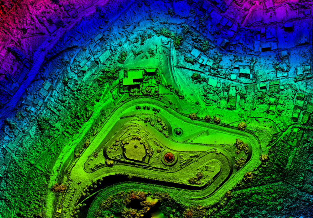
- Point clouds: A collection of co-located charted points that can be recontextured as 3D models
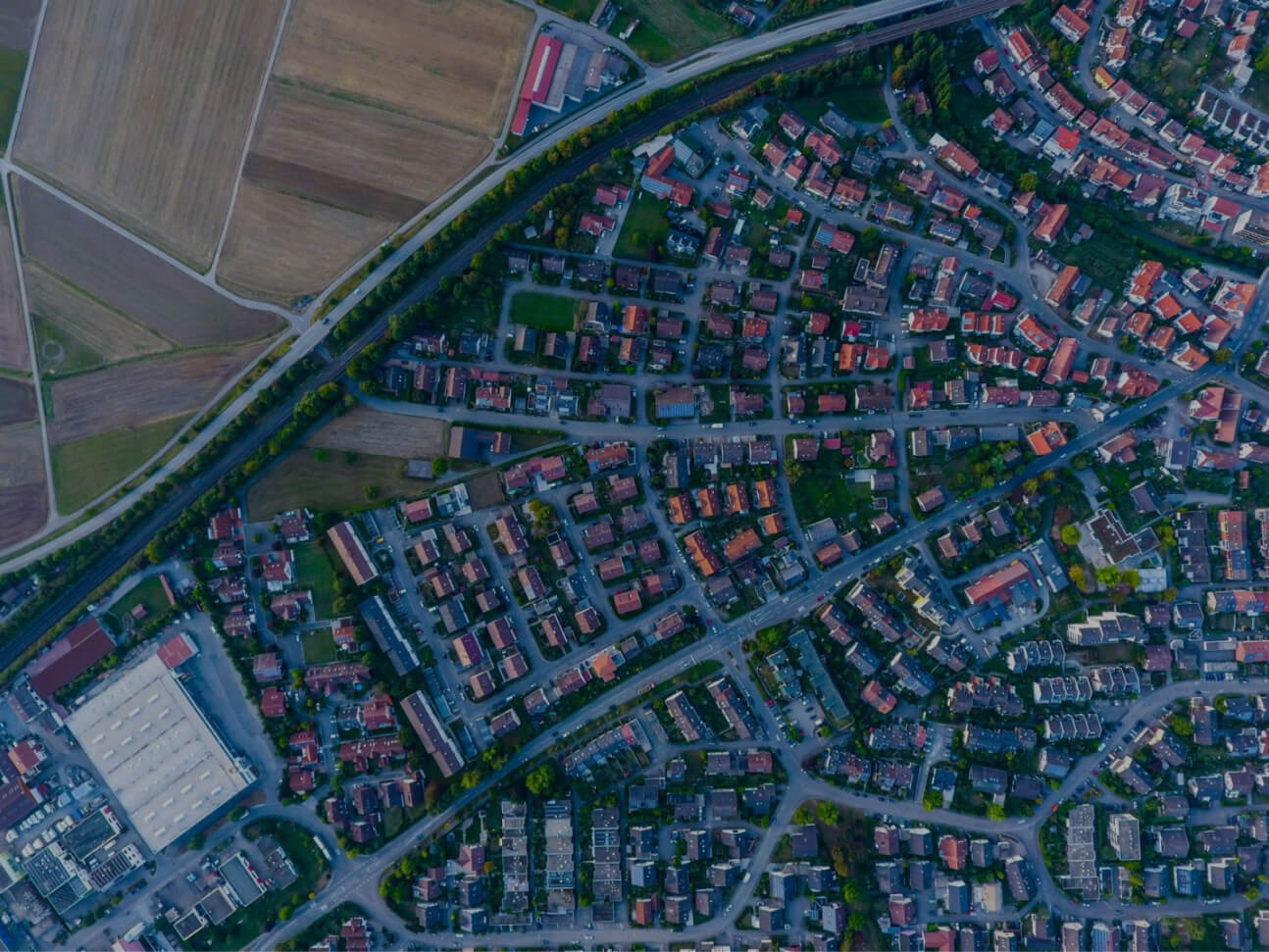
- Raster and satellite imagery: High-resolution aerial photographs of our world, taken from above
- Census data: Released census data tied to specific geographic areas for the study of community trends
- Cell phone data: Satellite-routed calls based on GPS coordinates
- Drawn images: CAD images of buildings or other structures that provide both geographic and architectural data.
- Social media data: Posts on social media that data scientists can analyze to identify emerging trends.
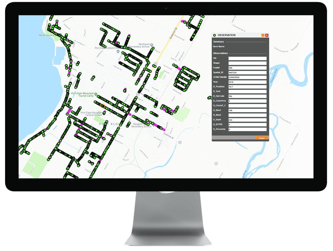
GIS-related project for one of Tierra’s clients
How does Tierra work with Geospatial data?
Tierra offers a range of professional services that produce timely and precise underground information for utilities, municipalities, engineers, surveyors, project owners and private property owners. Tierra is able to collect underground asset information and integrate it into Web-GIS. Web-GIS allows users to visualize data in realtime to asset management, tickets, permitting and much more.
The fundamental objective of Tierra is to provide its clients with the best and most efficient solution, with considering values such as:
- Public and employee safety.
- Courteous customer service.
- High-quality and cost-efficient solutions.
- User-friendly and environmentally friendly technologies.