A utility line on a drawing looks certain. A thin coloured stroke, a label, a depth note. The line itself says nothing about how it got there — whether someone verified that pipe in an open excavation, or traced a signal from the surface, or copied it from a forty-year-old as-built.
Subsurface utility engineering exists to make that difference visible. Its central tool is the quality level: a designation attached to each depicted utility that states what kind of evidence stands behind it.
A quality level is a statement about evidence
Quality levels are often misread as a grade of accuracy. They are better understood as a record of method. Each level tells the design team how the utility’s position was established, which is what determines how much weight the position can carry in a decision.
That distinction matters at the moment a designer has to choose: route the duct bank here or there, hold this crossing elevation or resolve it in the field, accept this conflict risk or pay to remove it. Each of those choices leans on the utility depiction. The quality level says how hard it can lean.
The four levels, from records to verification
SUE practice recognizes four quality levels. Moving up the ladder, each adds a stronger class of evidence.
Level D is the starting point: utility records, as-builts and provider information compiled and reviewed. It shows what is believed to exist. Level C adds surveyed surface evidence — valves, manholes, pedestals, markers — correlated against those records, which often exposes where the paper and the ground disagree.
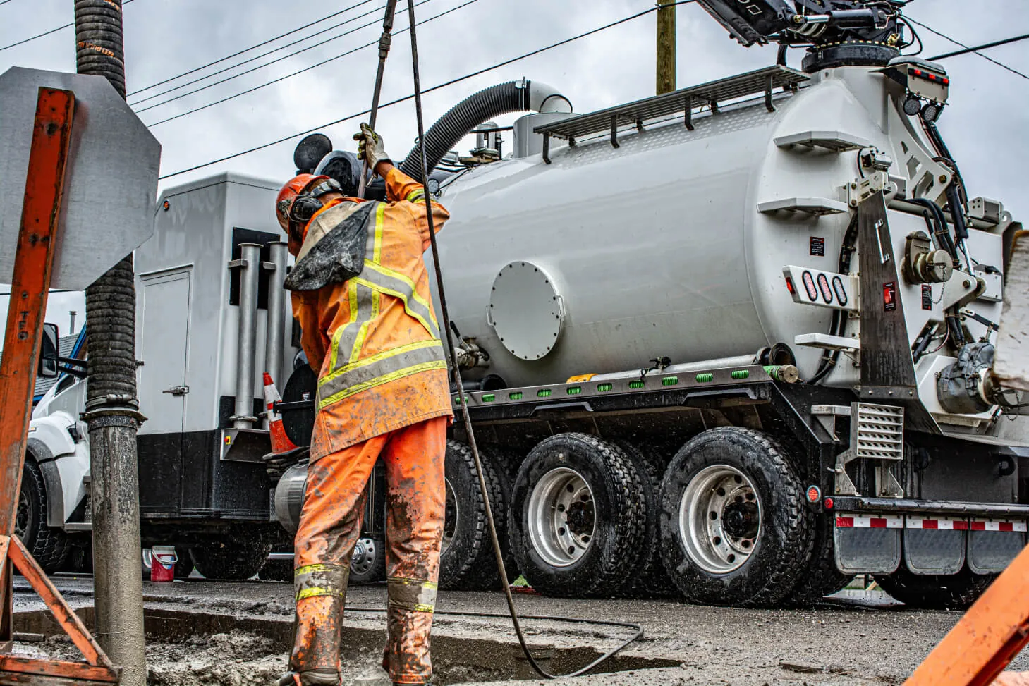
Level B designates the horizontal position of lines from the surface using geophysical methods such as ground-penetrating radar and electromagnetic induction. Level A is verification: the utility is safely exposed, typically by hydro-vac daylighting, and its exact position, depth, size and material are measured directly.
Match the level to the design decision
Not every utility on a project needs Level A, and treating the ladder as a checklist wastes budget. The working question is what decision each segment of the design has to support.
- Early route planning and feasibility can often proceed on reviewed records.
- Horizontal alignment decisions usually call for designated positions.
- Crossings, tie-ins and anywhere vertical clearance drives the design justify verified exposure.
Scoping SUE this way — level by level, segment by segment, against consequence — is how the investigation stays proportionate to the risk it removes.
The standards note worth reading twice
Quality levels come from a published standard, and editions change. ASCE 38-22 replaced ASCE 38-02. A project scope that still cites the old edition, or names no edition at all, leaves room for disagreement about what each deliverable must contain. Confirm the applicable standard and edition in writing before fieldwork begins, and require every depicted utility to carry its assigned quality level on the deliverable.
Where SUE meets Ontario One Call
In Ontario, locate requests for public utilities go through Ontario One Call — the service is free and required before you dig. Those locates protect an excavation. They are not a design deliverable, and they do not cover privately owned lines, which are requested directly from a private locating provider.
SUE sits upstream of both. It exists so the design already reflects the underground before crews and locate marks ever meet — pressure that has only grown since the Getting Ontario Connected Act, 2022 put locate delivery timelines into law. Tierra provides SUE across Ontario and Alberta, and in Texas through INTUS USA.