
Pre-Engineering & Permitting
Move the route forward before crews mobilize.
Existing-condition data, route validation and permit coordination for telecom, utility and infrastructure projects.
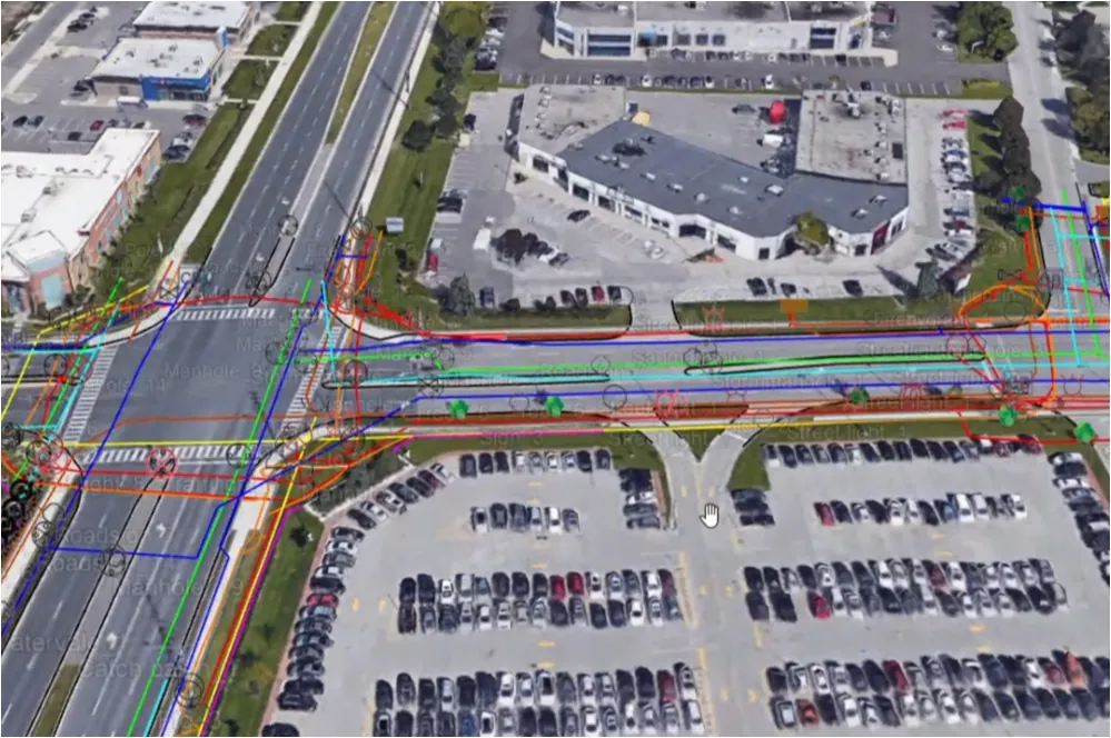
Resolve route and review questions while the design can still change.
What We Do
Clearing the path to build
What You Receive
A route package built for review and field planning
Existing Conditions
Underground and above-ground facilities captured for early design decisions.
Validated Route
Conflicts and constructability questions identified before field crews commit.
Permit Coordination
Applications aligned with municipal requirements and moved through review.
How It Works
Route to build-ready
01
Route Data
Existing infrastructure captured along the route.
02
Validation
Route and permits checked before crews commit.
03
Permits
Requirements assembled and coordinated for review.
04
Build-Ready
Current route, comments and document issue aligned.
Route & Permit Status
See what moves a route forward
Project intake
Route, schedule and jurisdiction establish the review path.
Proof
Selected network-building experience






Questions
Straight answers
Existing-infrastructure data gathered at the planning stage reduces conflicts, relocations and redesign — the expensive surprises that surface once construction starts.
It tests the proposed route against known existing conditions, constructability questions and authority requirements before crews mobilize. The result is a clearer review package and a visible record of issues that still need resolution.
Telecoms and utilities building networks, engineering firms, and developers who need municipal approvals to move.
A proposed route or project area, the current design package, target schedule and known jurisdiction are enough to begin. Tierra can identify the field data, validation and municipal coordination needed before an application or construction release.
Yes. Pre-engineering captures existing conditions, route validation tests the proposed path, and permit coordination carries the approved information into the municipal process. Keeping those stages connected reduces hand-offs and repeated revisions.
Timing varies by municipality, application completeness and requested revisions. Tierra collects the existing-condition data, validates the route and coordinates requirements to reduce avoidable back-and-forth, but municipal review and approval dates should not be treated as guaranteed.
Building a Network?