Subsurface Utility Engineering
Design with certainty about what’s underground.
Quality-level utility investigation using records, survey, geophysics and targeted daylighting before design decisions are fixed. In Texas, through INTUS USA.
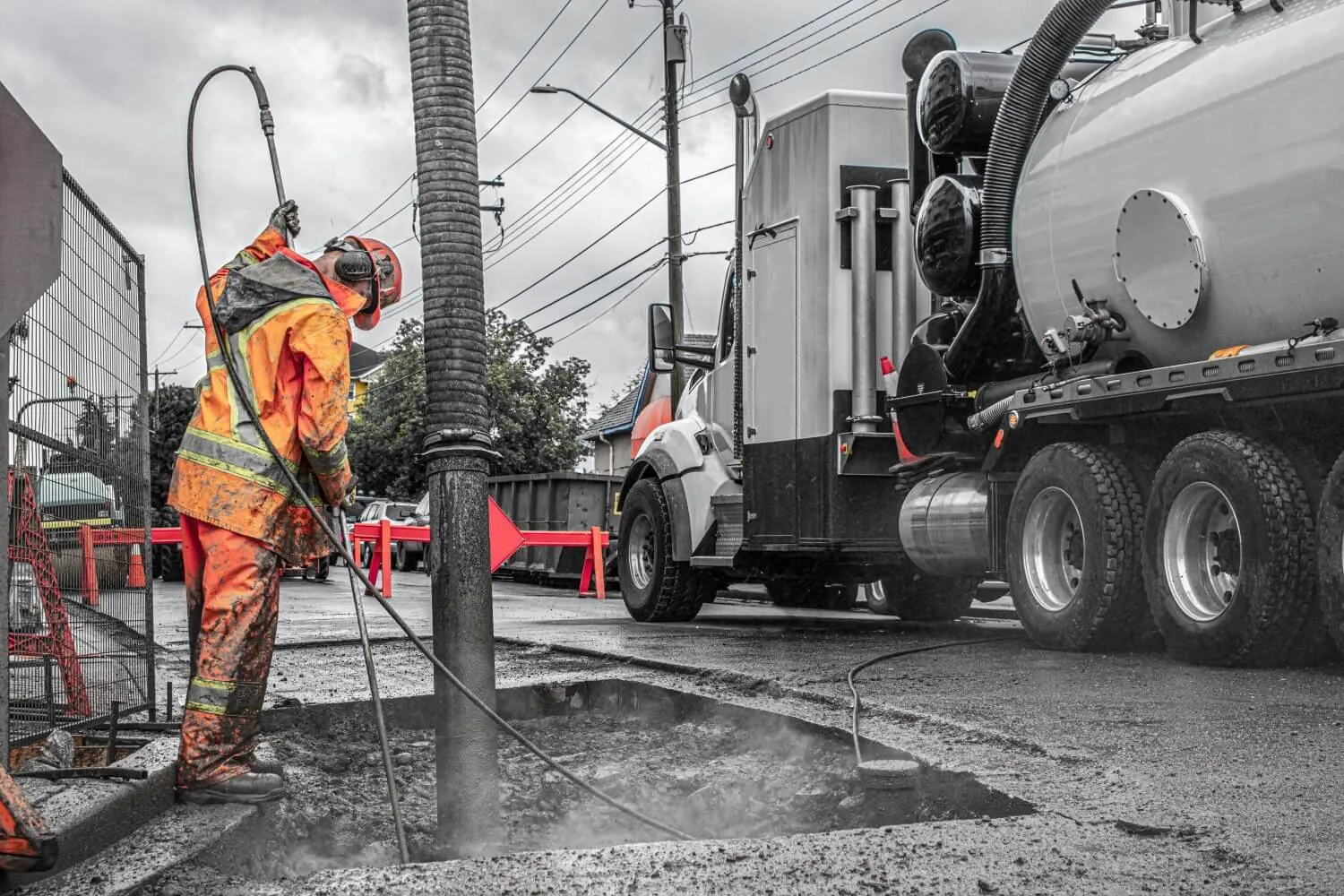
A utility conflict found during design leaves options. Found during construction, it creates disruption.
What You Receive
Utility evidence the design team can use
Utility Evidence
Records, surface features and geophysics organized by assigned quality level.
Verified Position
Horizontal designation, with daylighting where exact depth and material are required.
Clear Risk Context
Quality levels identified so teams can judge certainty before design decisions.
Quality Levels
Apply greater certainty where it changes the decision
Records research
- Involves
- Utility records and histories
- You receive
- Baseline utility picture
- Best used for
- Early planning and scoping
What We Do
One investigation, every method
How It Works
Scope certainty to the decision
01
Scope
Match quality levels to design risk.
02
Research
Compile records and coordinate providers.
03
Investigate
Survey, designate and daylight as needed.
04
Deliver
Identify certainty for design use.
Proof
Engineered for the people who design






Questions
Straight answers
Each reported utility should carry the quality level supported by the investigation evidence. ASCE 38-22 replaced ASCE 38-02; the applicable ASCE, CSA or owner standard and required edition should be confirmed in the project scope before fieldwork and deliverable preparation begin.
Before design freeze. Utility risk is cheapest to remove while the design can still move — talk to our SUE team at scoping, not after conflicts surface.
Yes — SUE in Texas through INTUS: Houston, San Antonio, Austin and neighboring communities.
Not every utility needs Level A. The right scope depends on the design decision, conflict risk and consequence of uncertainty. Records may support early planning; geophysical designation supports horizontal design; daylighting is reserved for locations where exact position, depth, size or material matters.
Bring the project limits, current design stage, known utility concerns and the decisions the investigation must support. Tierra can then align quality levels and field effort with the areas where uncertainty creates the most risk.
Confirm drawing, CAD or GIS requirements during scoping so the investigation supports the design workflow. Each reported utility should carry its assigned quality level, giving the design team clear context for how the position was established and how it should be used.
Scoping a Project?