Mapping, GIS & Data Integration
One map. Every asset. A usable record.
Field data, as-builts and legacy records organized into a hosted Web-GIS for operations and planning.
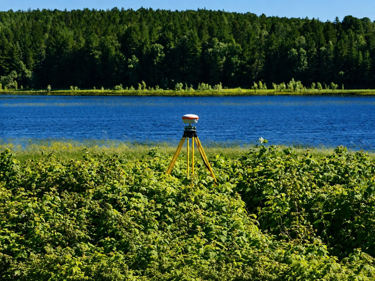
Scattered records slow decisions. A connected map makes the evidence easier to find and use.
What We Do
From scattered records to a living map
What You Receive
One usable home for network data
Unified Geodatabase
Field data and legacy sources organized in one consistent structure.
Digitized As-Builts
Paper and mixed-format records converted into searchable network information.
Hosted Field Access
A current map available wherever authorized teams need it.
The Data Advantage
Your locates become your map
01
Field Data
Locates, surveys and inspections captured once.
02
One Geodatabase
Merged with as-builts and legacy records.
03
Authorized Access
Hosted for the teams and workflows defined in the scope.
Web-GIS Layer Viewer
Turn network layers on and see the record
Proof
Selected mapping and GIS experience






Questions
Straight answers
Tierra’s hosted Web-GIS brings field data, as-builts and legacy records into a consistent geodatabase and map interface. The goal is a network record that authorized teams can inspect, update and use instead of another disconnected file set.
Access is defined during scoping around the owner’s users, responsibilities and operating workflow. Confirm user groups, update permissions, hosting requirements and any security constraints before implementation.
Yes. As-built digitization and legacy data integration replace the format chaos with a single, searchable source.
Yes. Tierra’s locating, survey and inspection work can feed the same data environment, so new field evidence strengthens the network record instead of becoming another disconnected file.
Start with the records you have: as-builts, spreadsheets, GIS files and field documents. Tierra can review the source mix, define a consistent structure and prioritize the information needed most by operations and locate teams.
Want the One-Map View?